life
& faith
life
life
in GT
life
in Lossie
faith
travel
& weather
travel
weather
Euro
WX
S
Atlantic WX
Places
I've worked
books
& trains
boats&trains&planes
Teutoburger
Wald Eisenbahn
Dampf-Kleinbahn
Mühlenstroth
books&Films&TV
TV
in English
Kino
This page is just to offer some useful links and
is provided for fun only
It is not to be used for any commercial purpose and no political viewpoint
is to be implied by any of the links.
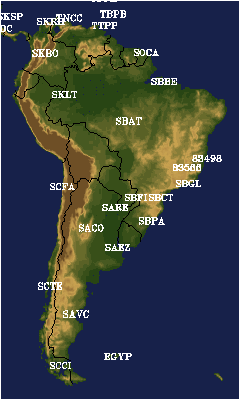
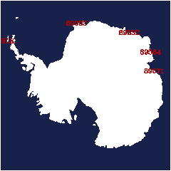
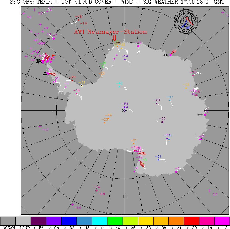
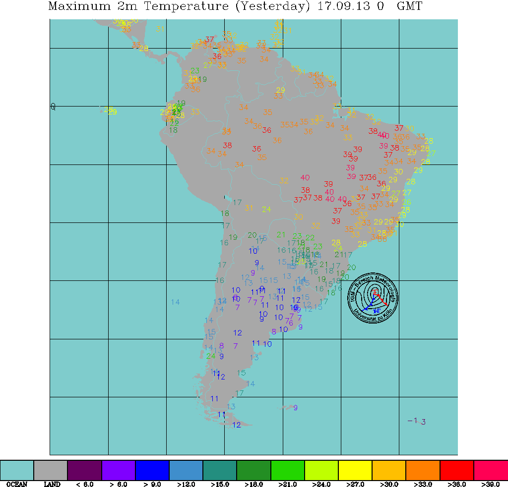
Analysis Charts
Satellite Pictures
Written Forecasts
Forecast Charts
Upper Air Reports
From the University of Wyoming , click on
maps to pick your upper air reports
Forecast Tephigrams
Click on map to select any point!
US Navy Satellite Data
This data is observed by polar orbiting satellites, it gives radar derived
images of precipitation, sea ice and surface winds (calculated by the movement
of sea spray/waves!). The charts below are for Drakes Passage and include Graham
Land, South Georgia, the Falkland Islands and Patagonia.
Latest Reports
Other Links
And for a rough translation of the above, try this!
This page was last updated on 10/04/02
.
My flesh and my heart faileth: but God is the strength of my heart, and my
portion for ever.
Psalm75v26
Angy Translate
Angy Shop
Angy
Mail
Any comments, requests, questions, opinions,
abuse, etc. Please feel free to mail me!
Angy visitor


